
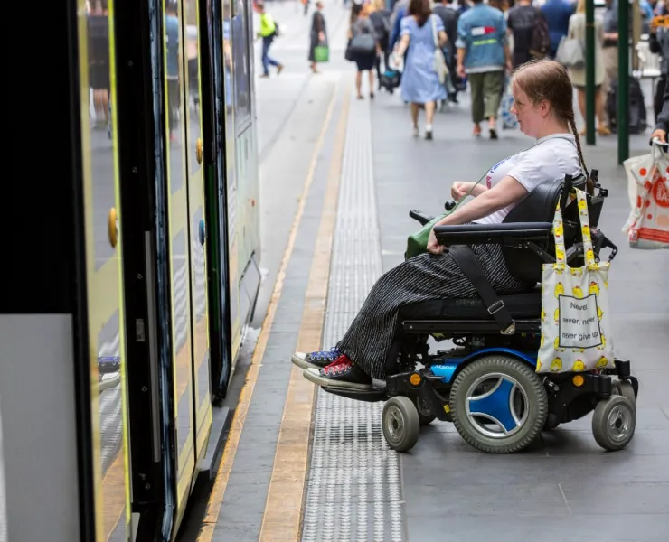
Trams, trains and buses
Buy a Myki smartcard for flexible travel between trains, trams and buses. You'll be able to use public transport in and around the city for just a few hours or all day.
In the Free Tram Zone, you don’t need to use your myki card. The Free Tram zone includes the city centre and extends from Queen Victoria Market to Docklands, Spring Street, Flinders Street Station and Federation Square.
Plan your trip, buy or top up your Myki card online and download maps and timetables from Public Transport VictoriaOpens in new tab (phone 1800 800 007).
Night Network
Running since 1 January 2016, Melbourne's Night Network trial has provided 24 hour public transport on weekends with all night trains and trams, late night buses, and a 2am coach service to key regional centres.
Visit Public Transport VictoriaOpens in new tab for more information about Night Network and specific services,
City Circle Tram
The City Circle Tram is a free tram service around central Melbourne taking passengers past some of Melbourne's major attractions.
Visit Public Transport VictoriaOpens in new tab for timetables and a route map.

TravelSmart map
The City of Melbourne TravelSmart map is a handy pocket-sized street map which provides information on tram, train and bus networks as well as walking and cycling routes in central and inner Melbourne. It highlights local sustainable transport options and includes standard Melway references and helpful safety tips.

