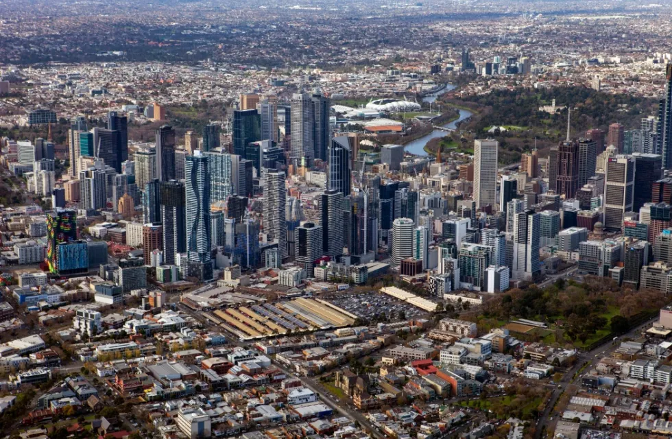

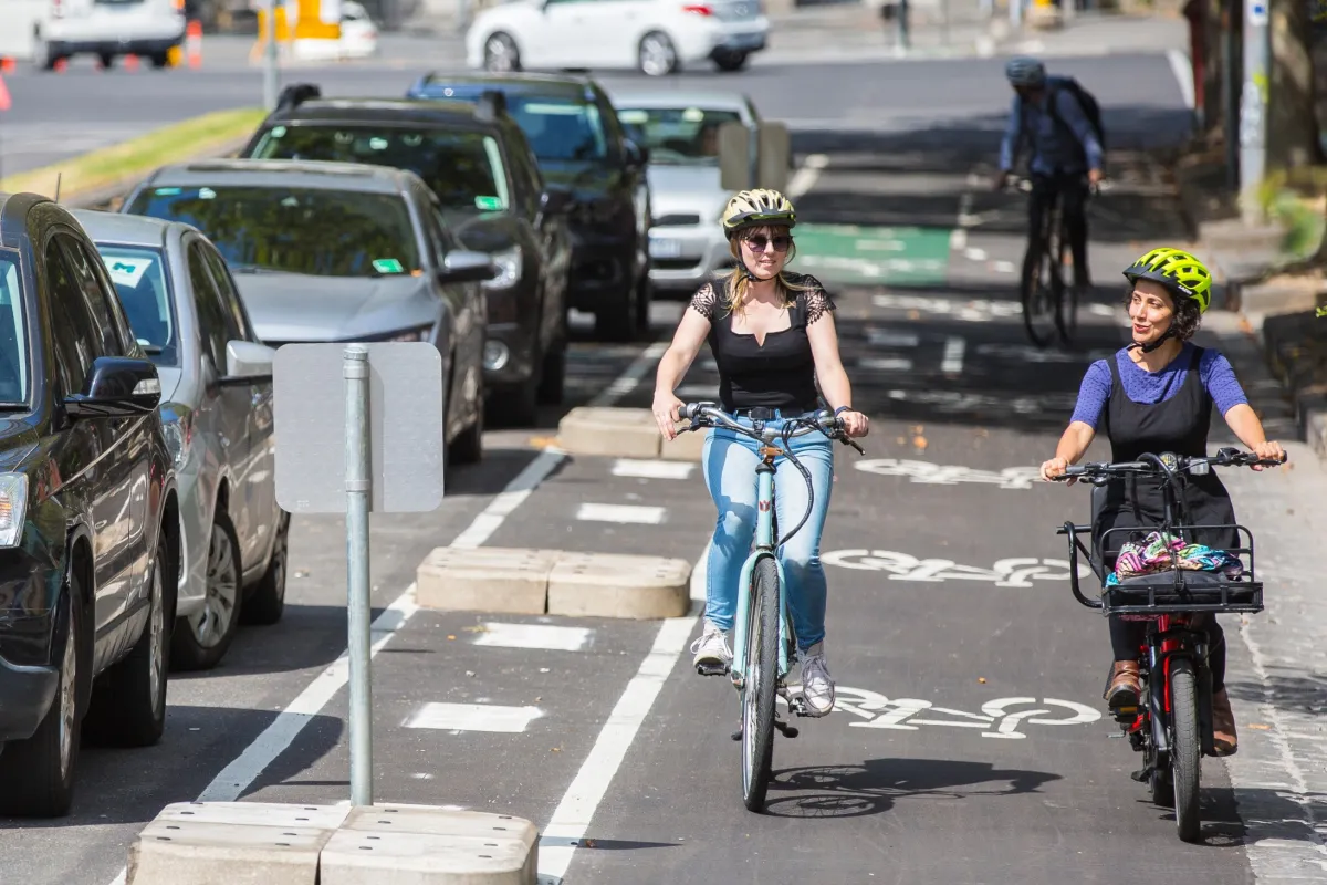
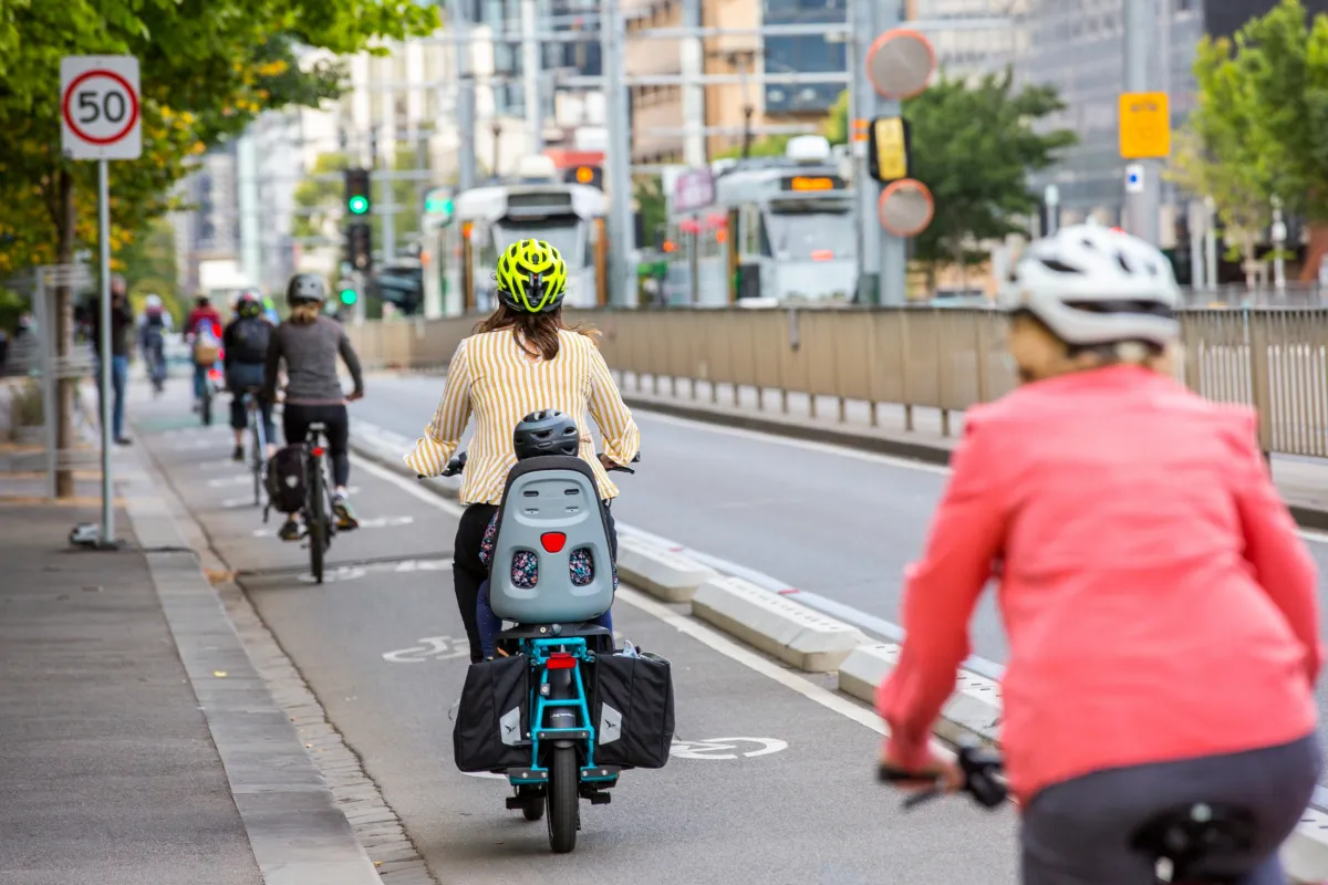
The City of Melbourne is committed to becoming a cycling city, with a safe and connected bicycle network for cyclists of all ages and abilities.
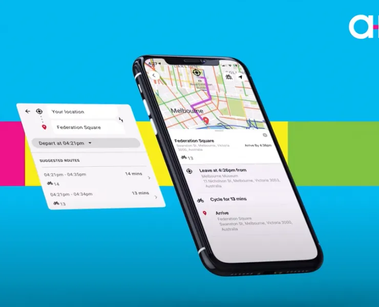
Want to cycle smarter?
Arevo’s got you covered, with a bike mapping feature to plan your journey. Check out a mix on and off street bike routes, and use the visual map to preview safe and convenient routes for bike riding.
Arevo – download today.
Arevo logo (by RACV)
Key cycling routes
Major on-road cycling routes include Royal Parade, Canning Street, Rathdowne Street, Swanston Street, Albert Street, La Trobe Street, Exhibition Street and St Kilda Road.
Off-road routes include the Yarra River Trail, Moonee Ponds Creek Trail, Maribyrnong River Trail, Dynon Road, Footscray Road and Harbour Esplanade.
Capital City Trail (PDF 354 KB) is a shared use path for cyclists and pedestrians, which circles the Melbourne city centre and some inner eastern and northern suburbs of Melbourne. It is 29 km in length, and mostly consists of sections of other trails, such as the Merri Creek Trail, Main Yarra Trail, Moonee Ponds Creek Trail and Inner Circle Rail Trail.
Changes to cycling routes
Metro Tunnel Project
Construction of the Metro Tunnel Project will see changes to the transport network, including access to cycling lanes. To avoid impacts or delays, you may need to consider changing your cycling route.
View a map of changes to the cycling networkOpens in new tab or subscribe to the Metro Tunnel newsletterOpens in new tab to find out more.
Find more information on road/path closures and works that may impact cycling routes on:
- Road closures
- Bicycle Network VictoriaOpens in new tab
- VicRoadsOpens in new tab
- Victoria's Big BuildOpens in new tab
Keeping our bike lanes clear

Our parking officers patrol our bike lanes daily including those, which are typically No Stopping areas during peak times. It’s an offence to stop a vehicle in a No Stopping area for any length of time – even to quickly drop off a passenger – and fines are issued on the spot to drivers.
If you’re concerned about a particular location, you can request a parking officer to attend or keep a closer eye on the area.
If a bike lane or path requires cleaning or maintenance, you can report it online.
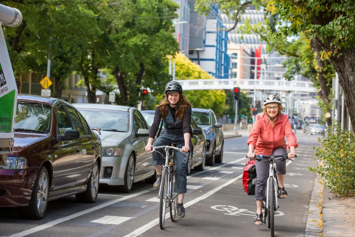
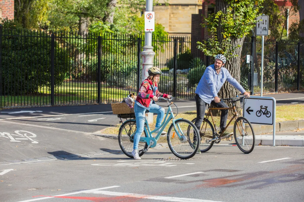
Bike lane design guidelines
City of Melbourne’s Bike Lane Design Guidelines provide a design guideline for a number of on-road bike facilities. We want to improve the safety and experience of on-road bike riding for cyclists of all abilities.


Cycling lane on Alexandra Avenue.

Cycling lane on Rathdowne Street.
Cycling lane on Swanston Elgin Street.
Cycling lane on College Crescent.
Cycling lane on Rathdowne Street.
Cycling lane on Swanston Elgin Street.
Cycling lane on Alexandra Avenue.
Cycling lane on Rathdowne Street.
Cycling lane on Swanston Elgin Street.
Cycling lane on College Crescent.
Cycling lane on Rathdowne Street.
Cycling lane on Swanston Elgin Street.


