
The Moonee Ponds Creek Strategic Opportunities Plan outlines opportunities to revitalise Moonee Ponds Creek with a chain of parklands, new open spaces and wetlands.
The plan outlines a vision to connect new and existing communities along the creek corridor through:
- future focused water management
- public space for community activity
- active transport
- biodiversity
- heritage and culture.
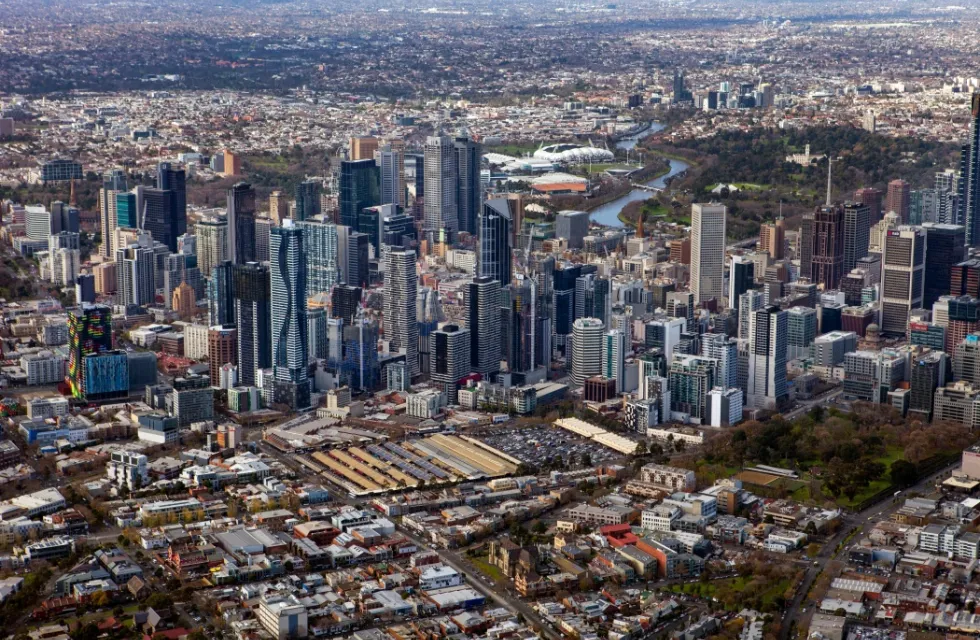
The Moonee Ponds Creek is an important north-south waterway that links several central city urban renewal precincts, however its ecological value and health has been highly degraded by the impacts of industry and infrastructure over decades.
A strategic focus on urban and open space planning that strengthens the ecological, economic and recreational values of this natural asset is necessary to ensure the continued liveability of our neighbourhoods.

Moonee Ponds Creek Corridor Improvement Projects
The City of Melbourne is committed to the protection, restoration and management of our waterways, which is identified as a Major Initiative within the Council Plan 2021–25. The Moonee Ponds Creek is critical to the sustainable development of the Arden and Macaulay urban renewal precincts and the continued development of Docklands.
The Moonee Ponds Creek Strategic Opportunities Plan 2019 identifies a range of key projects by which to improve the creek and its environs. It also identified the crucial role the creek plays in physically connecting our communities as well as providing new open spaces, enhanced biodiversity, connection to history and culture and water management improvements.
The interactive map below has been prepared to provide transparency on the role of key agencies and progress to deliver the following key improvement projects:
- Urban Rivers and Catchment Program
- Arden-Macaulay Pedestrian Bridges
- Macaulay Development Plan controls
- VicTrack land transfer or community lease
- Chelmsford Street Open Space
- Arden integrated stormwater management open space
- Creek hard rubbish and litter collection program
- Moonee Ponds Creek Implementation Plan
- West Gate Tunnel Project – local trees replacement
- Trail reinstatement in Docklands
- Pumping Station upgrades
- West Gate Tunnel Project - new bridge locations and veloway design.
Click on the project icons to find out further details of the projects’ lead agency or authority, a broad description, a short history of progress, and current status. Project information is current as at March 2024.
As the City of Melbourne does not own or manage land within the creek corridor, Council’s role is to advocate to the Victorian Government for the delivery of these project and provide support to the Chain of Ponds Collaboration Group. The successful delivery of the improvement projects will be a coordinated cross-government and community approach.
More information

