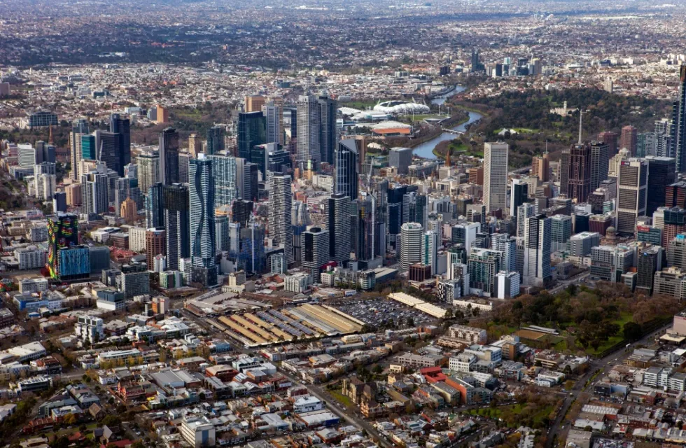
Walking is important to a city – pedestrian activity is an indication of a city's vibrancy and vitality. There is also a direct link between a city's economic prosperity and the safety and convenience of the pedestrian experience. Information from our pedestrian counting system can tell us how people use different city locations at different times of day to better inform decision-making and plan for the future.
The data is available in our online visualisation toolOpens in new tab. You can use this tool to:
- view a representation of pedestrian volume that compares each location on any given day and time
- compare the average of the same day and time over the preceding four weeks or 52 weeks
- see the impact of various factors, such as major events or extreme weather conditions, on pedestrian activity in the city and compare the flow to short- and long-term averages
- download the raw data for further analysis and visualisation.
Pedestrian data visualisation tool
The system consists of pedestrian counting sensors installed in various locations across the city, a wireless data transmission system, a central server and a data visualisation website.
A sensor is installed under an awning or on a street pole to form a counting zone on the footpath below. It records multi-directional pedestrian movements through the zone, 24 hours, every day.
The data is stored in the onsite data logger and transferred to the central server every 10 to 15 minutes via a 3G communication box. It is then uploaded onto the data visualisation website every hour.
The locations were selected based on three criteria – retail and event activity, regular pedestrian use and the egress and entry flow to these areas.
The system records movements, not images, so no individual information is collected.
The Pedestrian Counting System aims to:
- inform decisions about urban planning and management
- identify opportunities to improve city walkability and transport
- measure the impacts of events and specific marketing campaigns on pedestrian activity
- monitor retail activity in the city
- assist the business community in developing marketing strategies to maximise their exposure and identify staffing, security and resource requirements.
The data is used by the City of Melbourne and its stakeholders to:
- monitor pedestrian activity in the city over time and determine variations throughout the day, week, month and year
- understand changes in pedestrian activity, in relation to facilities provided, at various locations
- understand pedestrian activity patterns at various locations throughout the city
- plan and respond to emergency situations
- understand the impact of major events and other extreme conditions on pedestrian activity in the city
- inform other planning and implementation activities
- identify locations for pedestrian facility improvements
- develop pedestrian flow models
- assess economic and social impacts of pedestrian facilities
- provide concrete information to justify spending public resources on improving walkability.
More specifically, the data has been used in:
- urban planning
- retail development
- major event crowd assessments
- pedestrian safety
- traffic flow management
- assessments of the Swanston Street redevelopment.


