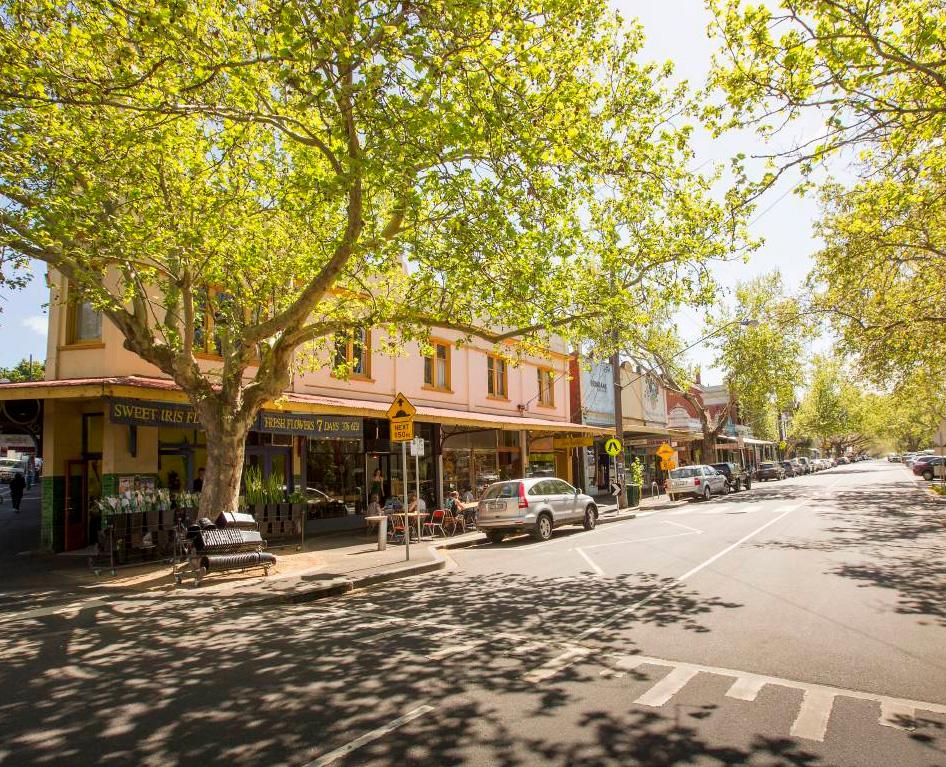
Interactive maps
Our interactive City of Melbourne mapsOpens in new tab provide easy-to-access information about council services, businesses and Melbourne landmarks. Explore places of interest in the city and find information about Melbourne properties, community facilities, parks, and much more.
The mapping service supports existing and potential businesses in the city.
Explore interactive mapsOpens in new tab
Note: We commissioned a privacy impact assessment to ensure the maps comply with the Privacy and Data Protection Act 2014. We have reviewed all images displayed on our interactive maps site and removed any images where either faces or car registration numbers are visible and could be used to identify an individual. If you are concerned about a photograph of your property, please contact us and we will arrange for their removal.
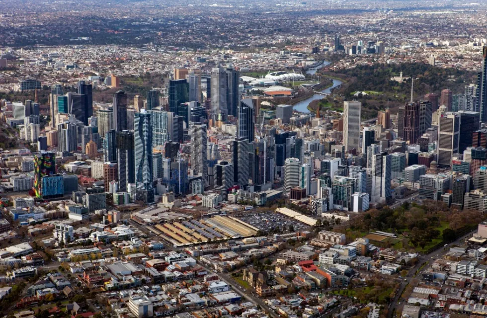
City of Melbourne boundary map
This map shows the City of Melbourne municipal boundary.
Explore more maps
- Access mapOpens in new tab (includes disabled parking, accessible toilets, mobility recharging points, public seating and drinking fountains, train station entrances, and tram and bus stops)
- Parking for people with a disability